Maps in Action: Situation and prioritisation of barriers along the Danube and its tributaries for restoration of longitudinal connectivity

Location of barries in the Danube river basin
This map plots the location of barriers – mostly dams – that disrupt the migration and completion of life-cycles of fish in the Danube river system. It was developed to inform the development and implementation of the Danube River Basin Management Plan.
Located in central and eastern Europe the Danube is the world’s most international river basin: four countries – Romania, Hungary, Serbia and Austria – amount for over 50% of the river basin area, but 81 million people in 19 countries share the Danube River Basin.
The development of River Basin Management Plans is one of the key requirements of the EU Water Framework Directive. Prior to the introduction of the WFD in year 2000, the 1994 Danube River Protection Convention established already a legal framework for trans-boundary water management. To support implementation of this convention the International Commission for the Protection of the Danube River (ICPDR) was created and in year 2000 took on responsibility for coordinating implementation of provisions in the WFD. Given the size and the ecological, social, political and economic complexity of the Danube River Basin this is quite an undertaking!
The publication of the Danube River Basin Management Plan in 2009 was preceded by a range of assessments. Raimund Mair, a technical expert with ICPDR described how hydro-morphological changes to the river system, caused by dams and other structures, were a major issue for technical teams grappling with how to deliver the ‘good ecological status’ objective of the WFD. “The Danube supports a number of long- and mid-distance migratory fish that need to move along the river to their spawning grounds and are barred from doing so by dams”. The Sturgeon and Danube Salmon are the best known examples. Historically sturgeons travelled up to 2000 km from the Black Sea along the river system and have become something of a ‘poster child’ and ‘flagship species’ for the Danube.
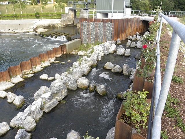
Fish Ladder on the Danube. Source: http://pixabay.com/en/fish-ladder-munderkingen-danube-245601/
The purpose of the map of barriers is to identify priorities for investments in fish migration aids at points in the river system that will generate the biggest ecological gain. According to Mr Mair the number of dams is significant, requiring a decade or more to take the necessary measures to restore connectivity. According to the assessments the highest priority but also most outstanding challenge to establish continuity are the so-called ‘Iron Gate’ hydropower dams at the 134 km long Iron Gates Gorge linking Romania and Serbia.
Mr Mair explained how the process of creating the map establishes its conservation policy impact. The ICPDR convenes technical teams involving experts from river management and conservation agencies in the ICPDR member states. “The process of developing methodologies – for instance criteria for prioritising measures at dams – helps to build a shared understanding of the river system, its ecology and the challenges of management, creating the ability to have conservation policy impacts”. This ‘bigger picture’ knowledge in combination with the shared policy vision and agenda of an international technical team empowers national experts to translate the map into action in their respective countries, and to elaborate more detailed prioritisation agendas at national level respectively.

Prioritisation for restoration of barriers in the Danube river basin
A key task for implementation is to create understanding and support with the owners of the facilities as well as to mobilise the funds to construct the fish passes and other migration aids. These are not cheap, and different countries adopt financing models attuned to national circumstances and opportunities. “In some countries a major share of the funds come from government budgets, and often some form of co-financing arrangement is agreed between government and the company or institution owning and operating the dam. EU funds have also been applied for.” noted Mr Mair. The point here is that it is the combination of the map and supporting technical documents and an international technical committee that creates and legitimates the case for investment in structures that aid fish migration across structural barriers.
Additionally, this map communicates a clear vision to an environmental issue. Conservation NGOs, notably the WWF Danube Carpathians Programme, use their networks, policy access and public profile to convince governments and industry to implement prioritisation agendas for restoring ecological connectivity and mobility in the Danube river system.
In summary, this map in the Global Freshwater Biodiversity Atlas is far more than a 2-dimensional depiction of priority locations for the installation of fish migration aids. It embodies a transnational movement of technical experts working to restore the ecology of one of the world’s greatest river systems.


